

Meaningful places
Favorite hikes, family homes and places you never want to forget.

Terrastratas
From maps to models, we specialize in highly customized large format designs.
No cost, no pressure. See what’s possible.
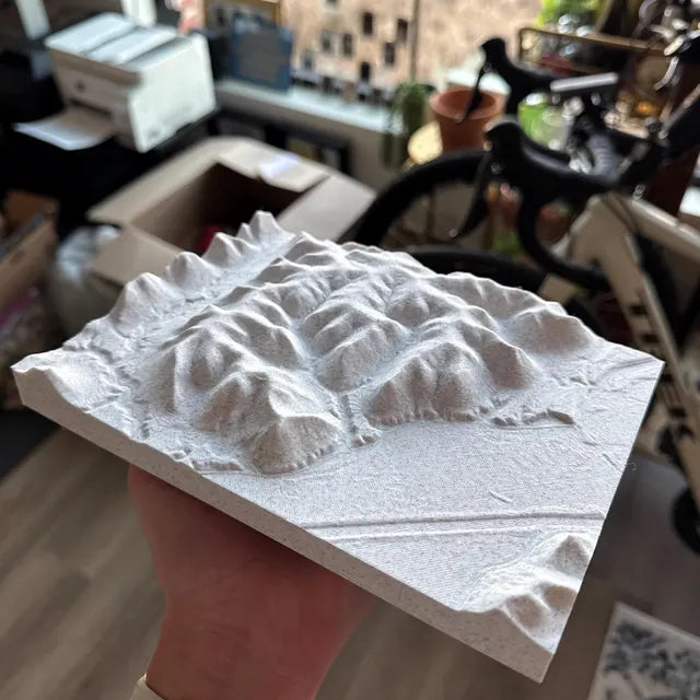
We create custom 3D topographic models at any scale, from small keepsakes to large-format installations.
Our work is built for anyone with an idea. From engineers and site planners to museums and visitors centers creating immersive displays, to businesses and individuals looking for a meaningful piece of art.
If you have an idea, no matter the size or scope, we’re here to bring it to life.
Favorite hikes, family homes and places you never want to forget.
Bring properties, vineyards and landscapes into a new perspective.
Custom terrain for planning, education, exhibits and larger installations.
Larger sizes and specialized projects are quoted individually.
Ready to purchase?
Use our map tool to select your area, choose your size and style, and share your details. Then purchase your model right online.
Starting at$70USD
8x6 single color model, unframed.
We’ll email your mockup for approval before printing.
Starting prices are for 8x6 unframed models. Shipping and tax calculated at checkout.
Prefer a free mockup first?The work behind your map
We don’t use a terrain generator. We work directly with high-resolution terrain data, customize it with GIS mapping tools, and refine it in 3D modeling software. An artist guides every step, bringing your idea to life while preserving the details that make your place matter.
See what the extra care makes possible
Choose a landscape to compare.Tap an image to enlargeSwipe between images, or choose below
Tap an image to enlargeSwipe between images, or choose below
Tap an image to enlargeSwipe between images, or choose below
Tap an image to enlargeSwipe between images, or choose below
Tap an image to enlargeSwipe between images, or choose below
Tap an image to enlargeSwipe between images, or choose below
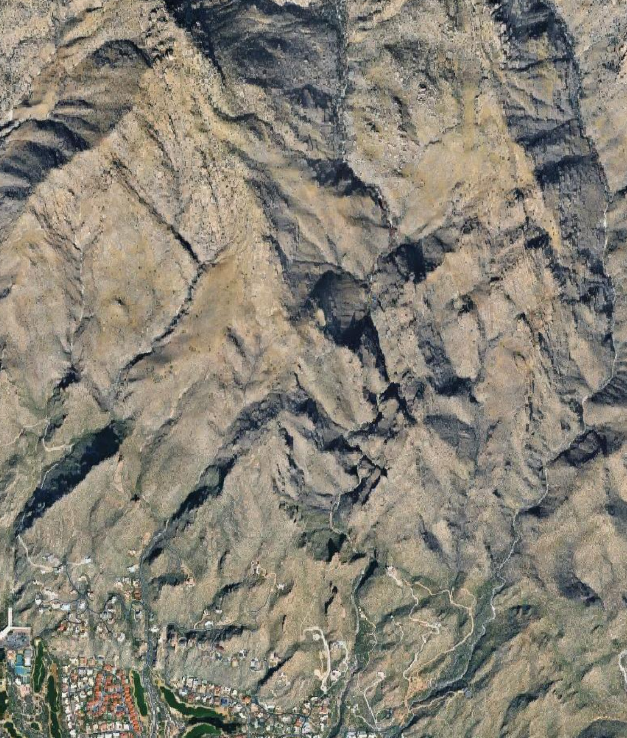
The source view shows the natural mix of rock, vegetation, and developed land.
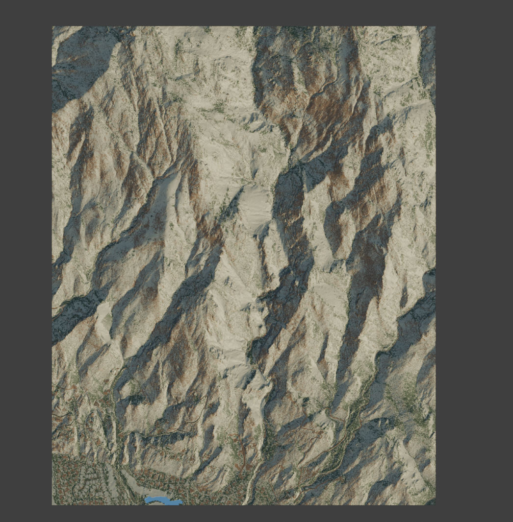
Our proprietary coloring translates the landscape into a model with its own material palette.
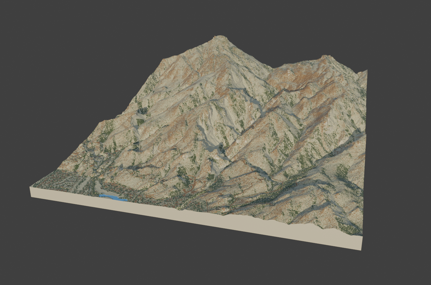
See how the color follows the form of the finished model design.
Tap an image to enlargeSwipe between images, or choose below
Tap an image to enlargeSwipe between images, or choose below
Tap an image to enlargeSwipe between images, or choose below
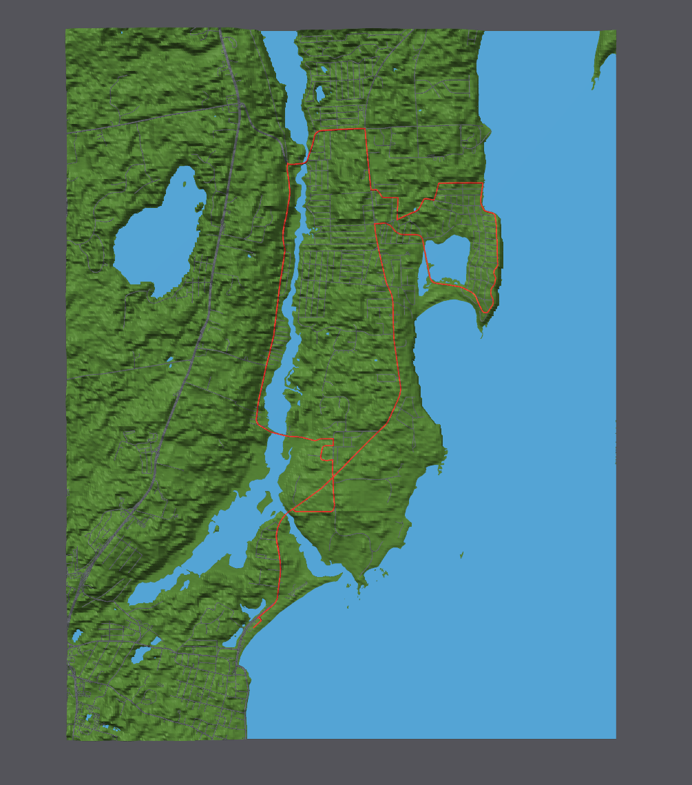
A green land surface, blue water, and red course line define this sample.
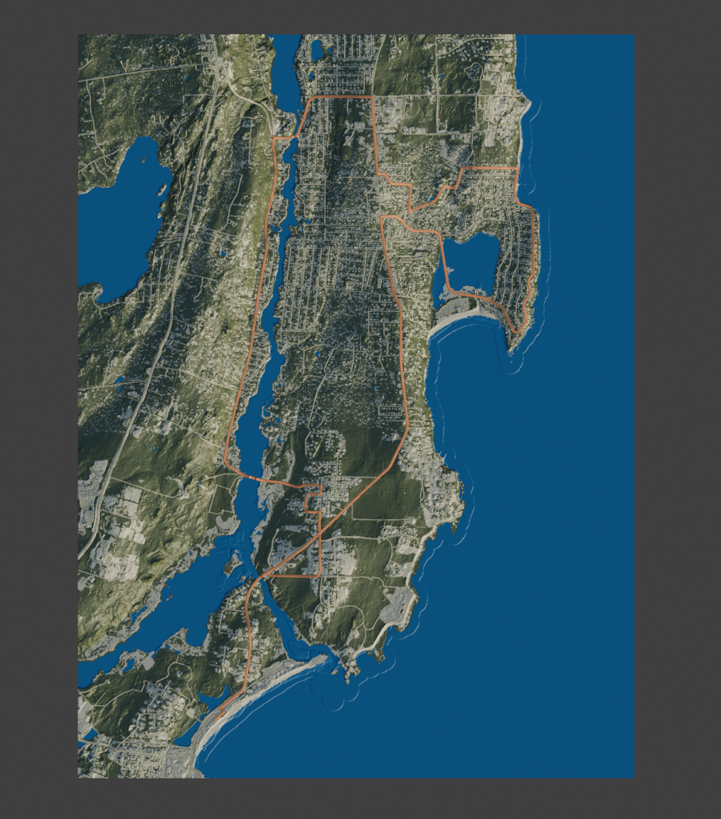
Our coloring gives the land its character, with a contrasting route that is easy to follow.
Tap an image to enlargeSwipe between images, or choose below
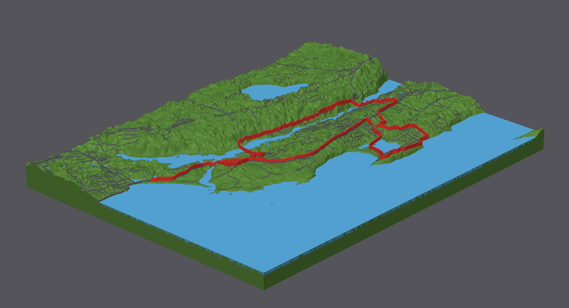
The tall red course stands above the broad green surface in this sample.
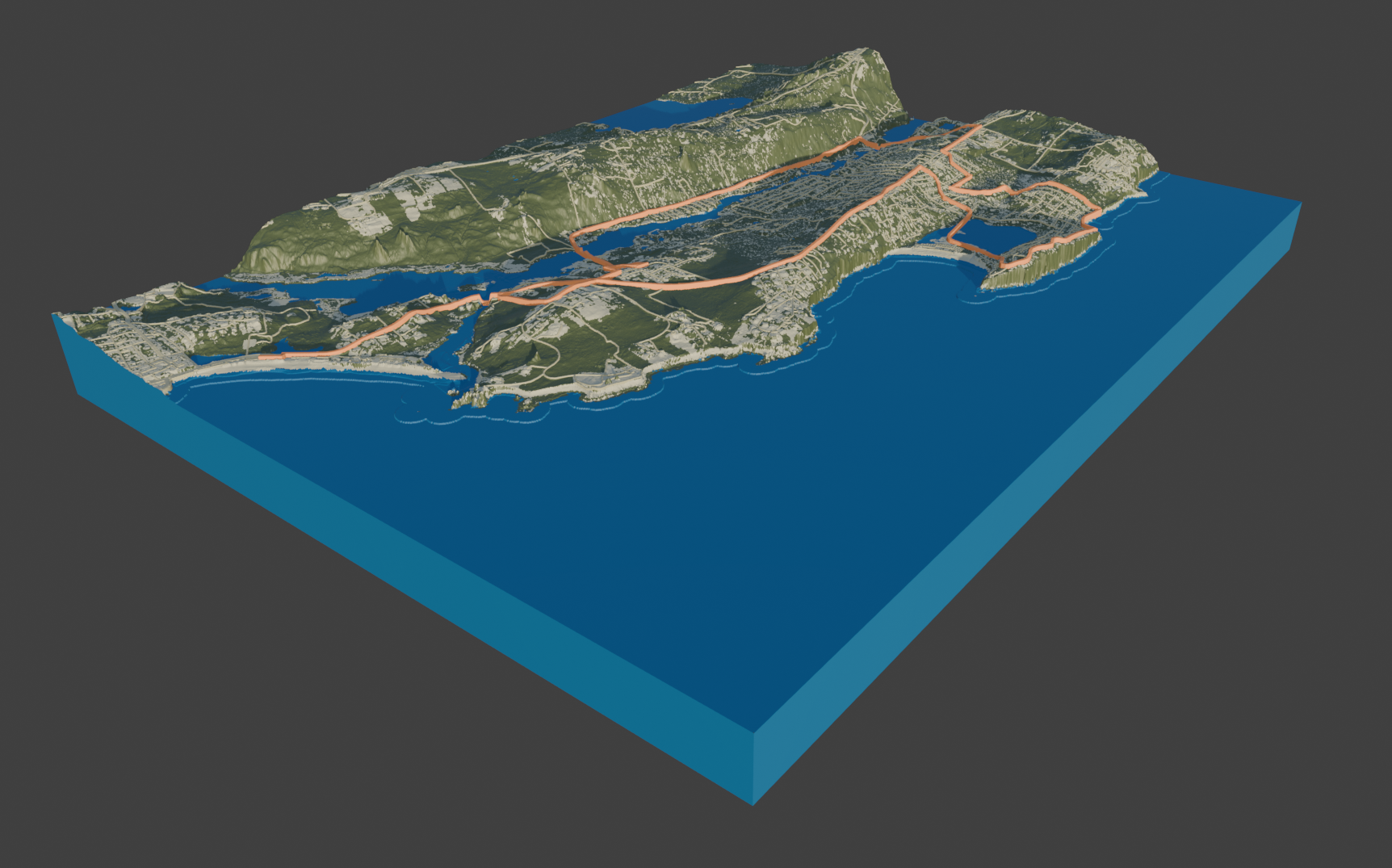
A raised, contrasting course follows the terrain while the surrounding detail stays visible.
Tap an image to enlargeTap the photo to enlarge
Model renders are used for comparison; views and framing vary. The finished running model is a real photograph. The satellite view is a color reference.
We access high-resolution elevation datasets directly, choosing the best available detail for your landscape.
In GIS, we edit the terrain and add layers, from your route to the features you want to highlight. The data becomes custom to your project.
An artist takes that custom data into 3D modeling software, refining the form, color, and details with you before it becomes a model you can hold.
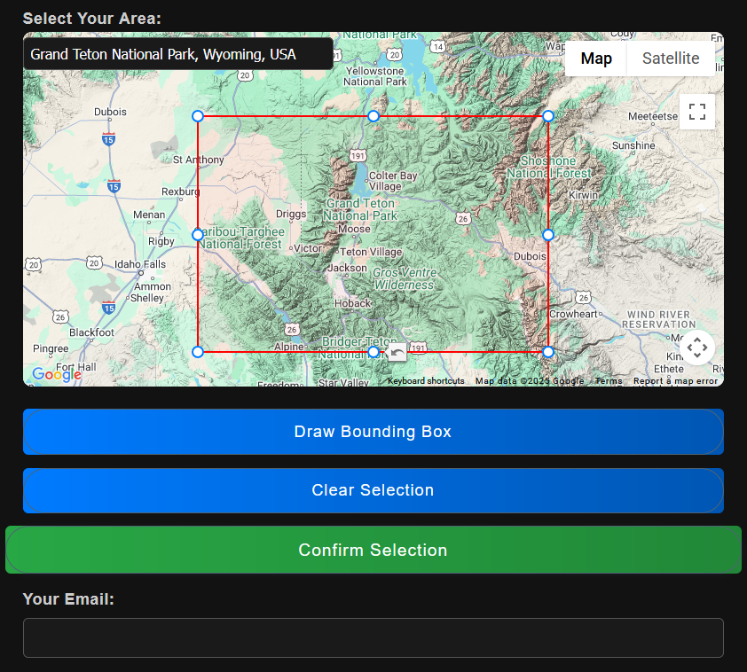
Free mockup · No pressure
Use our free map tool to pick any location of your choice. We’ll create a custom model and email you preview photos. No cost, no pressure, just a chance to see what’s possible!
Try the Map Tool – It’s FreeA few of the teams we’ve worked with







Use our custom map tool to choose your location and add any relevant details. The more information you provide, the better we can bring your model to life.
We’ll send you a high resolution preview of your model to fine-tune details before we bring it to life.
Your 3D map is carefully packaged and shipped, ready to be displayed as a unique piece of art.
★★★★★
Elliot did an amazing job! He was super easy to work with, sent me multiple renderings before finalizing the order...
★★★★★
Elliot was very responsive and accommodating. Extremely pleased with my order!
★★★★★
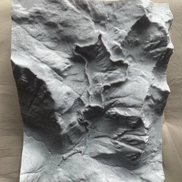
I placed an order for a custom location, and Elliot was extremely helpful! The map arrived quickly and was exactly what I wanted...
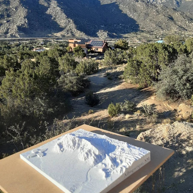
Explore our collection of existing map designs, ready for you to make your own.
View all designs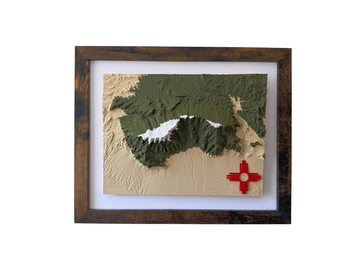
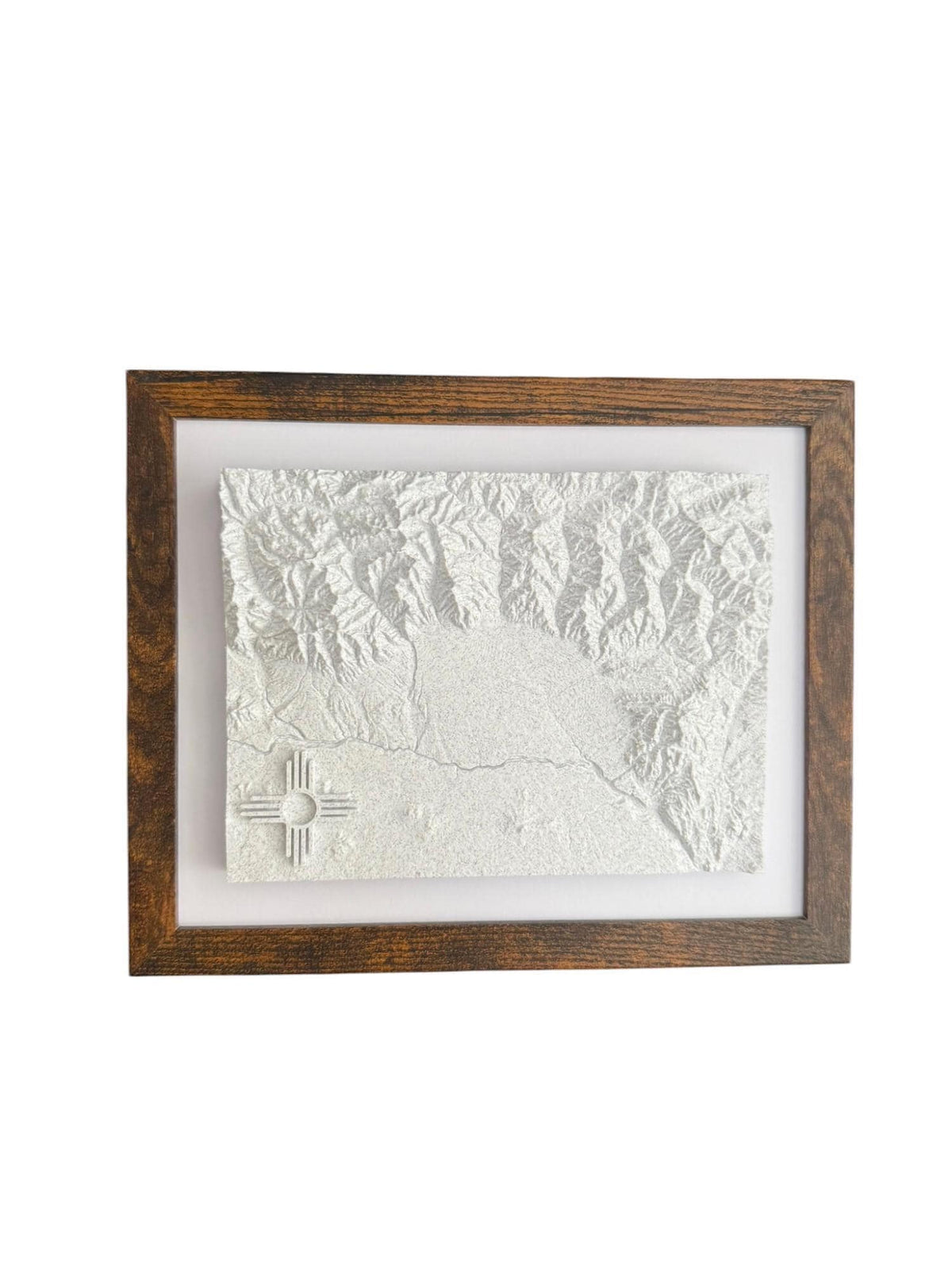
Create your one-of-a-kind 3D topographical map of any location. Crafted with precision, made for you.
Request a free mockupOr say hello at info@terrastratas.com
Yes. Use the map tool to select the area you have in mind. For a larger or specialized project, send an inquiry and we’ll work through the details with you.
Yes. We’ll email your mockup for approval before printing, so you can review the terrain and any personal details.
Add your chosen details in the map builder, or tell us what you have in mind in an inquiry. We’ll work them into your design and preview.
We create models for properties, planning, museums and larger installations. Tell us the area, intended use and size, and we’ll put together a custom approach and quote.


