Submit A Free Inquiry To Get Started Today!
My Store
Couldn't load pickup availability
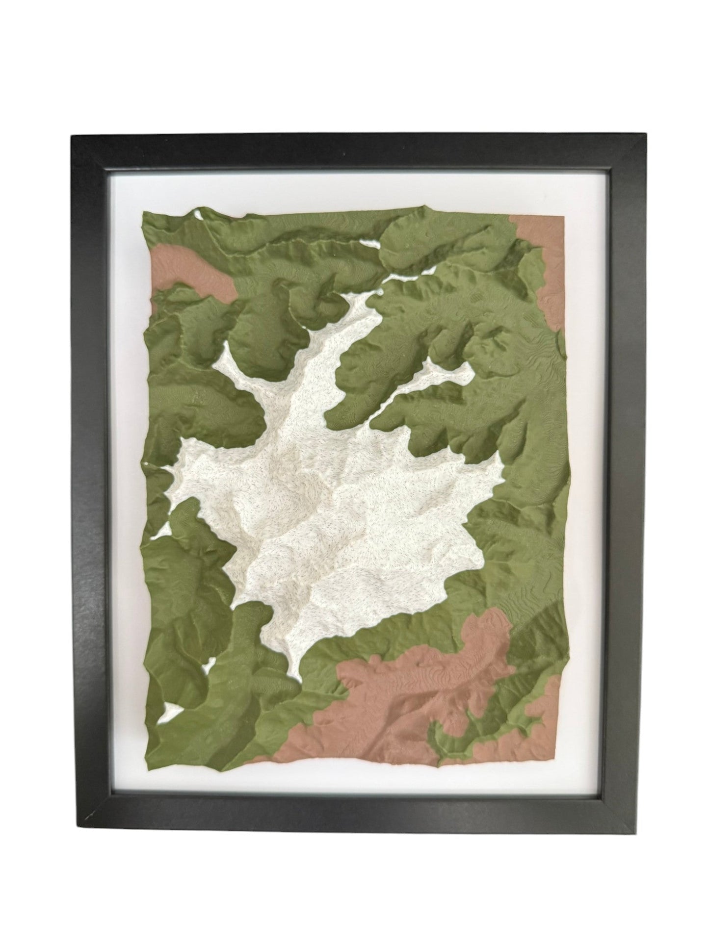
Celebrate a special location with a 3D printed topographic map made from real elevation data. Whether it’s where you got engaged, hiked your favorite trail, or built your first home, each model turns that memory into a lasting keepsake.
Use our Custom Map Request Form or email info@terrastratas.com to get a free preview before purchasing.
All frames fit standard 8x10 inches.
Looking for a larger model or want to include property lines, trails, or roads? Use our custom inquiry tool or email us for a quote.
Note: Models over 8x6" are printed in tiles and seamlessly joined together.
Perfect for anniversaries, engagements, housewarmings, or decor — handmade and personalized just for you.